Last updated: September 2026
How Much Are Antique Maps Worth?
Check current market values, learn what affects pricing, and get tips for buying and selling.
← All Maps & Globes valuationsWhat do you want to value?
Get the free app for unlimited scans


Antique Maps Price Guide
Current market values based on recent sales data and market trends.
| Item | Condition | Price Range |
|---|---|---|
| Ortelius map, 1570-1612 | Good, hand colored | $400 - $4,000 |
| Blaeu map, 17th century | Excellent, colored | $600 - $8,000 |
| John Speed county map, 1610s | Good, colored | $300 - $2,500 |
| California as an island map | Good | $1,500 - $15,000 |
| 18th century French or English map | Good | $150 - $1,200 |
| 19th century atlas map | Good | $30 - $250 |
| Early American state or city map | Good | $300 - $5,000 |
| Sea chart or portolan style | Good | $400 - $6,000 |
| Map with tears, browning, or trimming | Poor | 30% - 60% of clean |
| Modern reproduction | Any | $10 - $60 |
What Determines Antique Maps Value
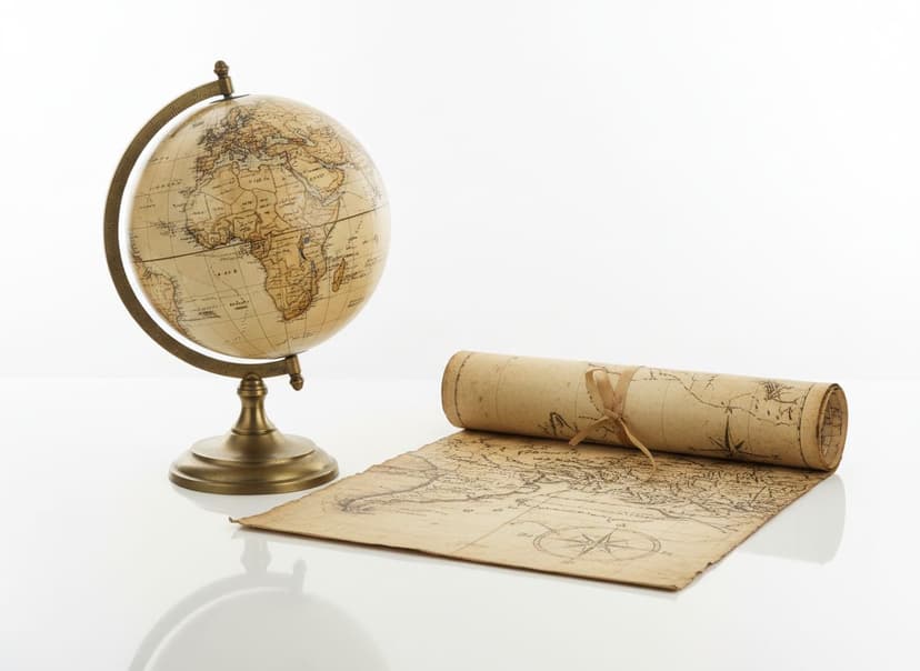
Antique maps are collected as both historical documents and decorative art, and that dual demand supports a stable market. Value depends on age, mapmaker, region depicted, condition, and whether the map is hand colored. The golden age of mapmaking runs from roughly 1570 to 1700, dominated by Dutch publishers including Ortelius, Mercator, Hondius, and Blaeu, whose atlases were the finest produced. English mapmakers such as John Speed occupy a parallel tier. Region matters enormously and is often counterintuitive: maps of America, particularly early ones showing California as an island or containing significant cartographic errors, command large premiums over European maps of the same date and quality. Most antique maps on the market are pages removed from bound atlases, which is normal and accepted. The critical practical skill is distinguishing genuine copperplate engravings from modern reproductions, which is done by examining the plate mark and the paper.
Age and mapmaker set the framework, with the sixteenth and seventeenth-century Dutch and English publishers at the top. Region depicted is a major and sometimes surprising driver, since American maps, especially early ones and those with famous errors, outsell European maps of the same date. Cartographic significance matters, and maps documenting a first depiction or containing a notable mistake command premiums. Hand coloring affects value, and period original coloring is worth more than modern coloring applied later, though good modern color on an uncolored map is generally accepted and sometimes increases decorative value. Condition covers tears, foxing, browning, worm holes, and centerfold splits from atlas binding, all of which are common and expected to some degree. Trimming is a specific issue, since removing the plate mark or margins reduces value substantially. Paper quality and watermarks help authenticate and date maps.
Buying & Selling Tips
Buying
Look for the plate mark, the indentation where the copper plate pressed into the paper. Its absence usually indicates a reproduction.
Examine the paper. Antique maps are on laid paper with visible chain lines when held to light; reproductions use modern wove paper.
Check whether the coloring is period or modern. Period color is worth more, though modern color is accepted.
Prioritize American and cartographically significant maps. They outsell European maps of equal age and quality.
Inspect the centerfold for splits. Atlas maps were folded at the binding and splits there are common and repairable.
Selling
Identify the mapmaker and the atlas the map came from. That attribution is what buyers search for.
Photograph the full map flat, the plate mark, the cartouche, and any damage.
State the sheet dimensions and whether margins are intact. Trimming is a major value factor buyers ask about.
Do not attempt repairs or flattening yourself. Professional conservation preserves value that amateur work destroys.
Sell significant maps through a specialist map dealer or auction. General marketplaces cannot identify or price them properly.
Antique Maps FAQ
How can I tell if an antique map is original?
Look for a plate mark, the visible indentation where the copper plate pressed the paper, and examine the paper for laid lines and watermarks. Reproductions lack the plate mark and use modern paper, often with a visible printing dot pattern.
Are maps removed from atlases worth less?
No. Most antique maps on the market were removed from bound atlases, and that is normal and accepted in the trade. A complete original atlas is worth more than its pages, but individual sheets are the standard collectible.
Which antique maps are the most valuable?
Maps of America from the sixteenth and seventeenth centuries, especially those showing California as an island or documenting early exploration, command the highest prices, reaching $1,500 to $15,000 and higher.
Does hand coloring increase a map's value?
Period original coloring adds substantially. Modern coloring applied to a previously uncolored map is accepted and often increases decorative value, though collectors pay a premium for original color and expect disclosure.
What is a plate mark?
It is the impressed line around the printed image where the edge of the copper printing plate pressed into damp paper. It is a reliable indicator of a genuine intaglio print and its absence suggests a reproduction or a trimmed sheet.
Got Antique Maps to Value?
Upload a photo and get a free AI-powered valuation in seconds. No sign-up required.